The Times Reference Atlas of the World.
ISBN: 9780008262495
Printed: 2017
Publisher: Times Books. London
Edition: Eighth edition
| Dimensions | 25 × 34 × 2.5 cm |
|---|---|
| Language |
Language: English
Size (cminches): 25 x 34 x 2.5
Condition: Fine (See explanation of ratings)
£32.00
Buy Now


Item information
Description
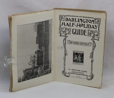
Orange aerial view of a river delta on the binding with white title on the spine and front board.
F.B.A. provides an in-depth photographic presentation of this item to stimulate your feel and touch. More traditional book descriptions are immediately available.
A ten pound deduction will be made if this item is collected from our Scarborough shop.
Eighth edition of this popular atlas from the prestigious and authoritative Times Atlas range. Latest satellite images and fascinating historical maps. This world atlas contains the breadth, scale and detail to make it an ideal reference resource for school, home and business.
The atlas has been brought fully up-to-date to provide a detailed and attractive picture of the world today. The beautifully illustrated introductory section gives a detailed profile of today’s world and covers major contemporary geographical and global issues – such as environment and population growth – through maps, images, statistics and graphics.
The fully up-to-date reference maps give exceptional detail and provide accurate, accessible and attractive coverage, helping you explore the world.
44 city plans of the world’s major cities, showing major places of interest, have also been revised.
A comprehensive guide to the world’s states and territories including flags, profiles and key facts in included, making this the ideal reference atlas for home, school or office.
Main features of this atlas include:
· 104 pages of authoritative mapping of the whole world
· Plans of 44 of the world’s major cities
· Geographical reference section with flags, statistics and facts for the world’s states and territories
· Statistics and world maps on major geographical themes, including earthquakes, population, cities, climate and the environment
· The latest images of the earth from space
· Historical mapping of the world from 1858 to the present day
· 45,000 index entries
Want to know more about this item?
We are happy to answer any questions you may have about this item. In addition, it is also possible to request more photographs if there is something specific you want illustrated.
Ask a question
Related products

Share this Page with a friend