
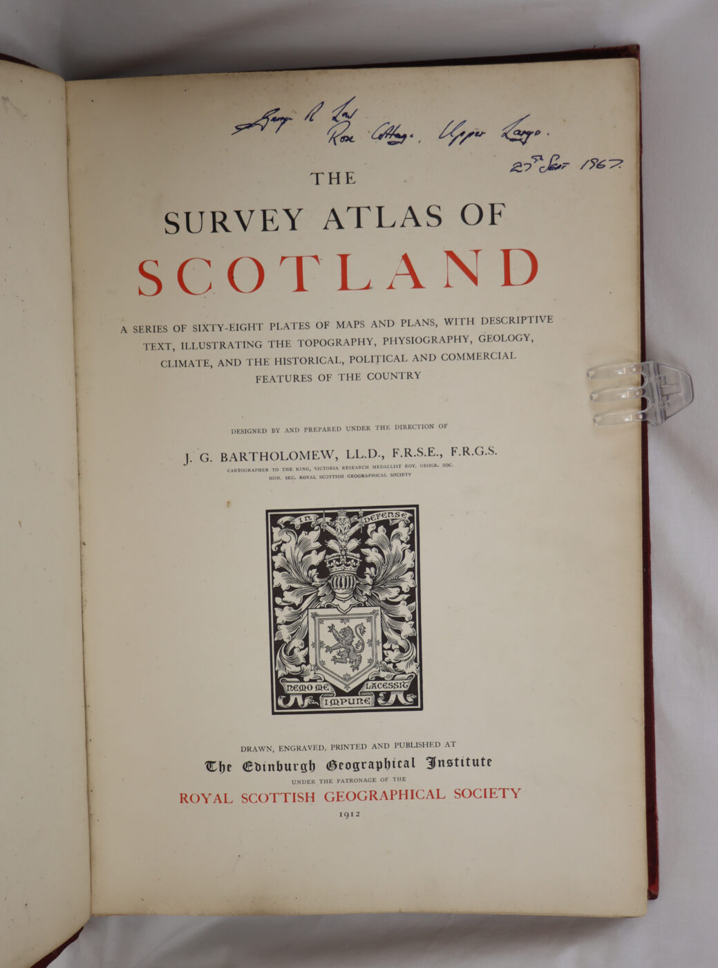
The Survey Atlas of Scotland.
By J G Bartholomew.
Printed: 1912
Publisher: The Edinburgh Geographical Society. Edinburgh
| Dimensions | 33 × 46 × 5 cm |
|---|---|
| Language |
Language: English
Size (cminches): 33 x 46 x 5
Condition: Good (See explanation of ratings)
£440.00
FREE shipping
Buy Now

Item information
Description
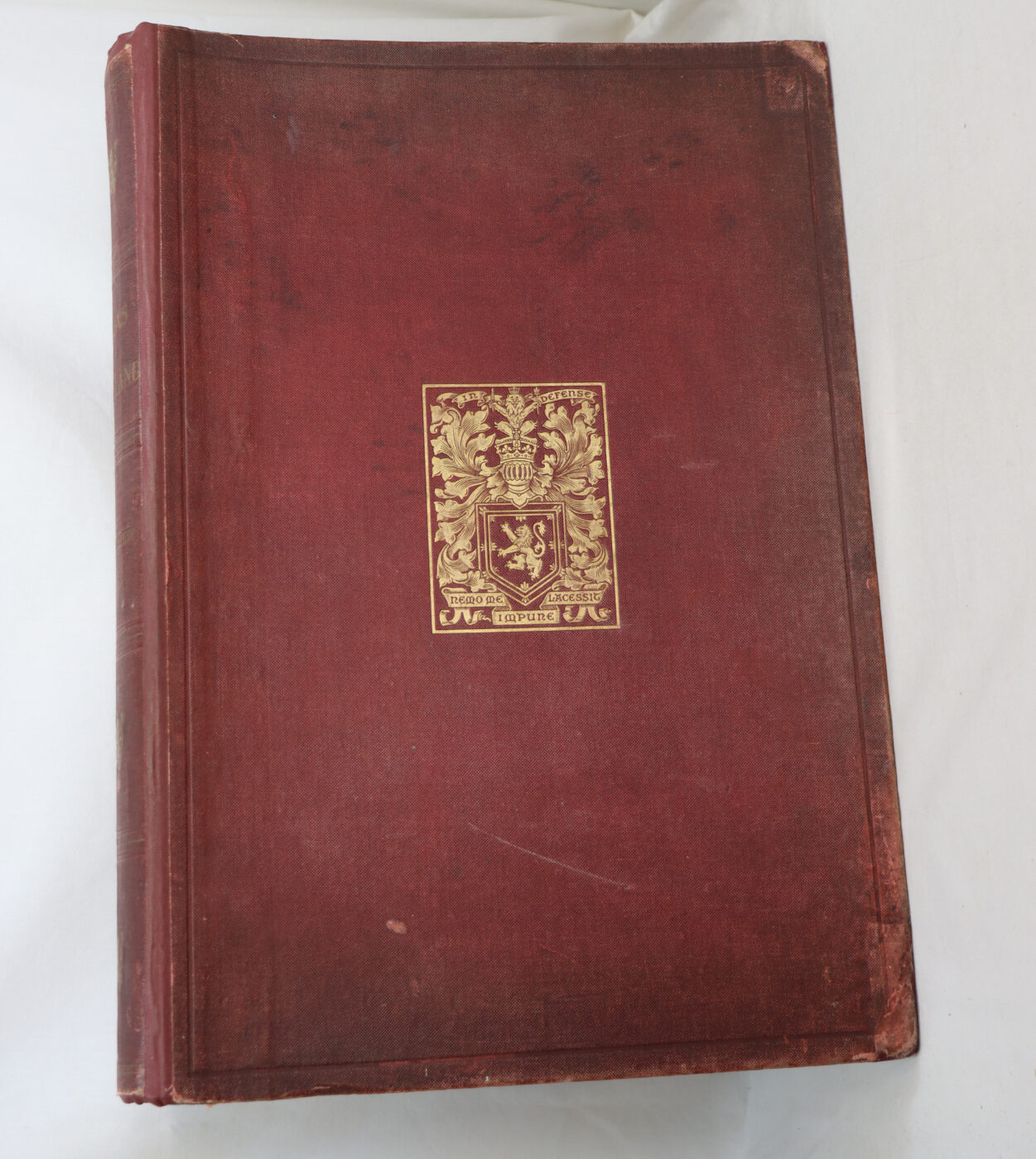
Red cloth binding with gilt title on the spine and gilt crest on the front board.
We provide an in-depth photographic presentation of this item to stimulate your feeling and touch. More traditional book descriptions are immediately available
- Note: This book carries a £5.00 discount to those that subscribe to the F.B.A. mailing list
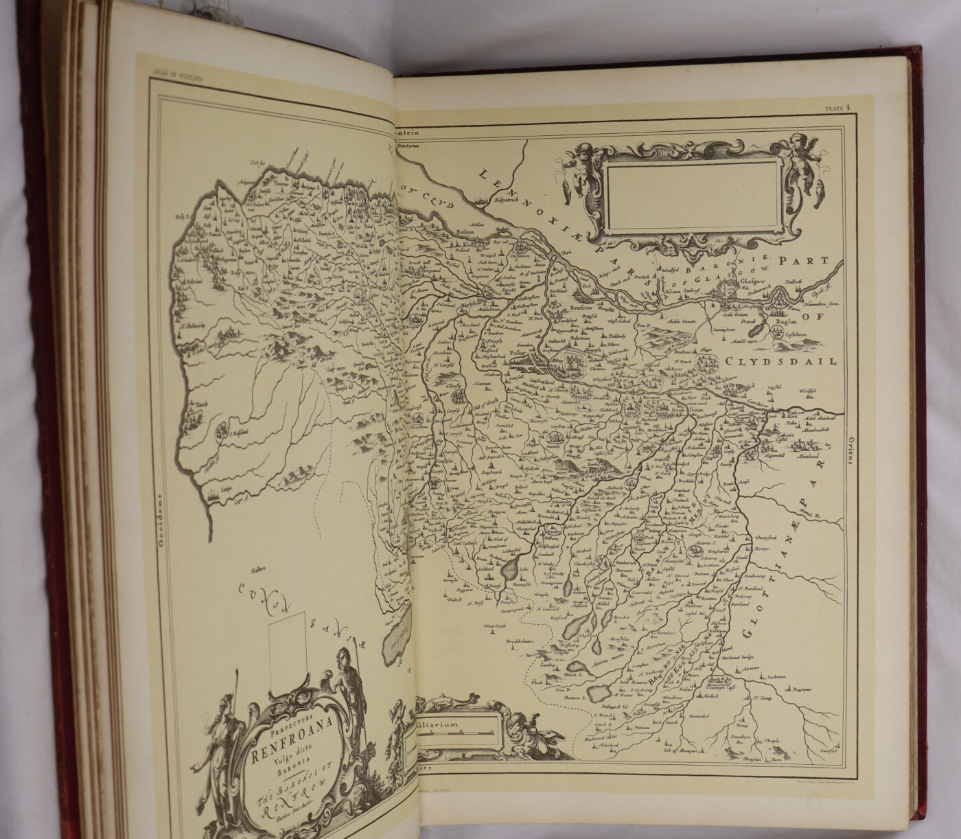
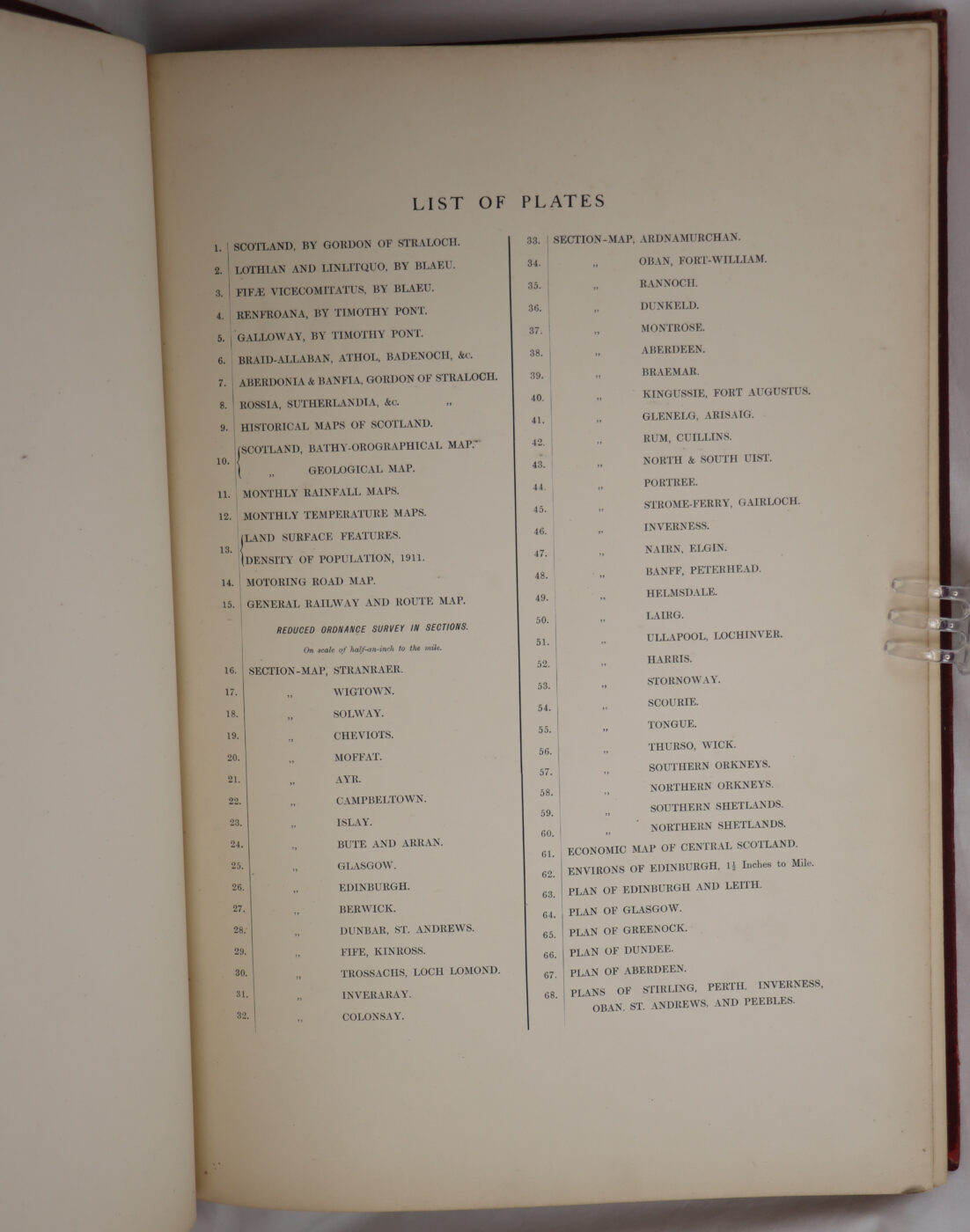
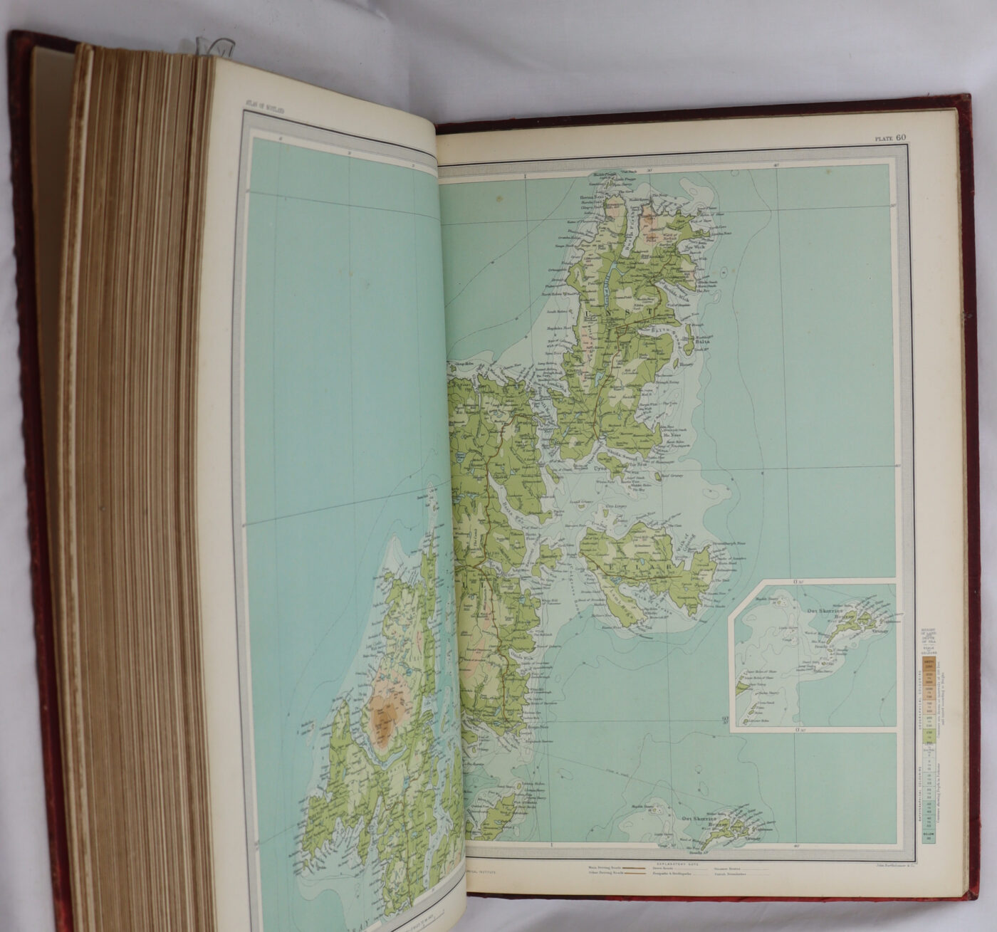
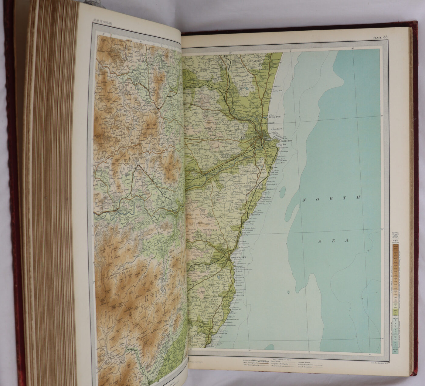
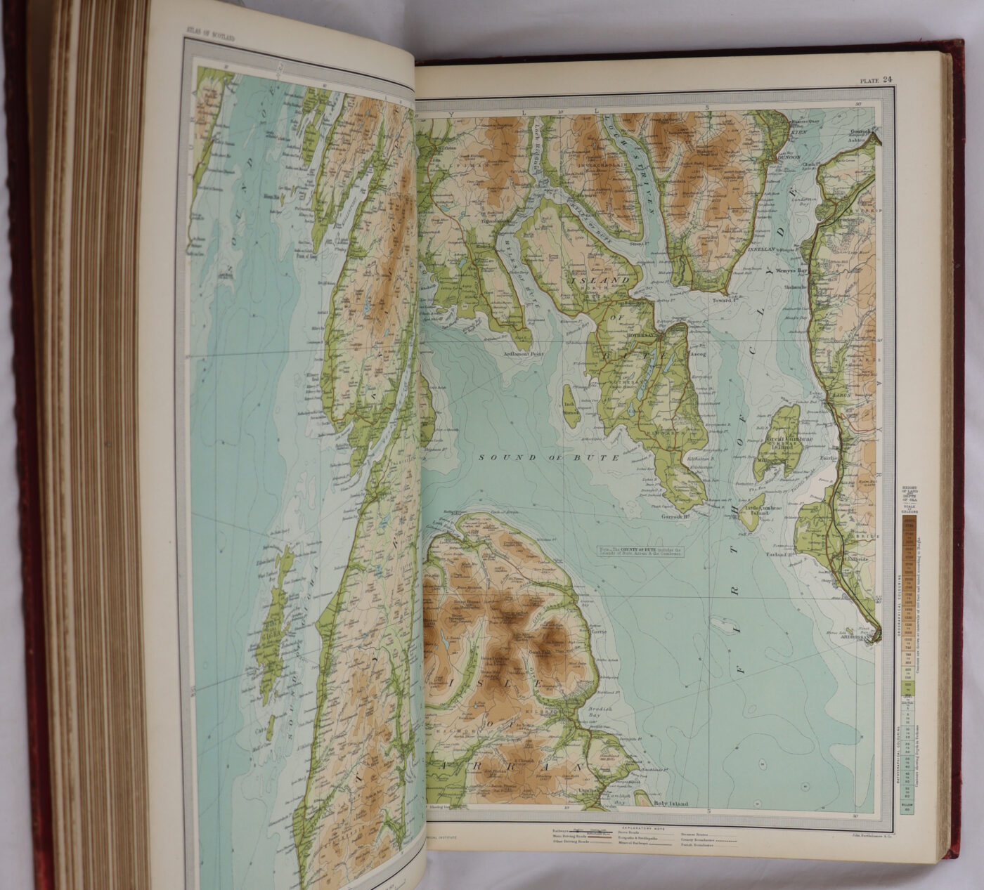
The Survey Atlas of Scotland c1912 by Bartholomew is a rare and valuable collectable book containing 68 maps and city plans. Printed in English by The Edinburgh Geographical Institute in 1912, this 1st edition hardback book showcases the detailed geography of Scotland. Authored by J.G. Bartholomew, this original publication offers a unique insight into the topography and urban layouts of various cities in Scotland, making it a sought-after item for collectors and enthusiasts of antique maps and geography.c1912 COMPLETE WITH 68 MAPS TO INCLUDE 8 MAPS BY PONT/BLAEU AND ALL LARGE CITY/TOWN PLANS INTERNALLY VGC CLEAN NO TEARS OUTER BINDINGS GOOD LIGHT WEAR/RUBBING TO SPINE/CORNERS A GOOD ATLAS COMPLETE.
Condition notes
Rebacked spine
Want to know more about this item?
We are happy to answer any questions you may have about this item. In addition, it is also possible to request more photographs if there is something specific you want illustrated.
Ask a question





Share this Page with a friend
