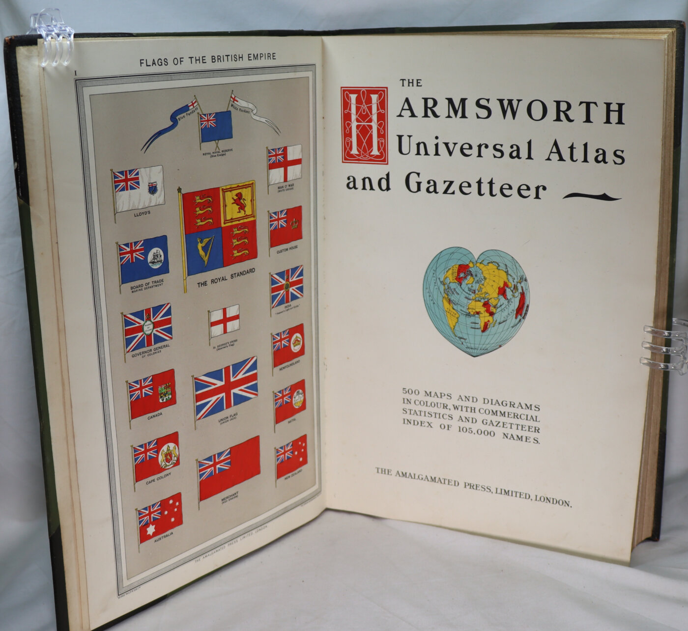
The Harmsworth Universal Atlas and Gazetteer.
Printed: Circa 1900
Publisher: The Amalgamated Press, London
| Dimensions | 30 × 41 × 6 cm |
|---|---|
| Language |
Language: English
Size (cminches): 30 x 41 x 6
Condition: Fine (See explanation of ratings)
£104.00
Buy Now
Your items

Item information
Description
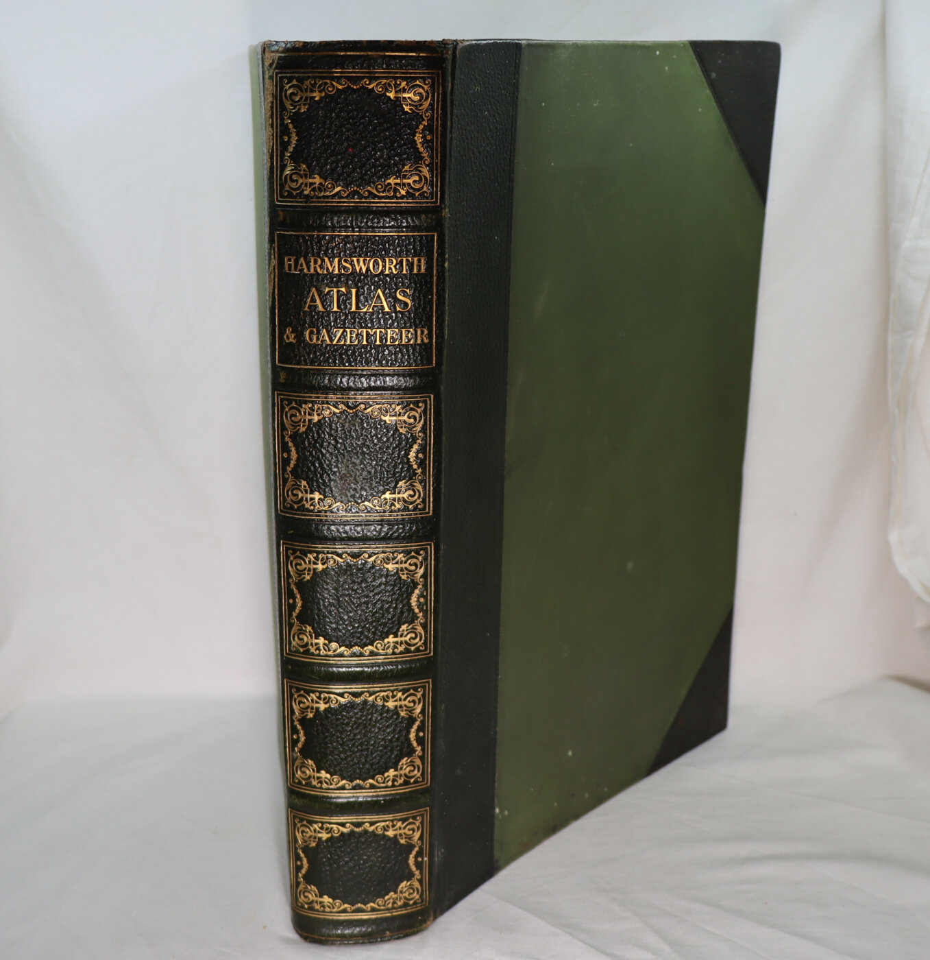
Green leather spine with gilt decoration and title. Green cloth boards.
- F.B.A. provides an in-depth photographic presentation of this item to stimulate your feeling and touch. More traditional book descriptions are immediately available.
- Note: This book carries the £5.00 discount to those that subscribe to the F.B.A. mailing list.
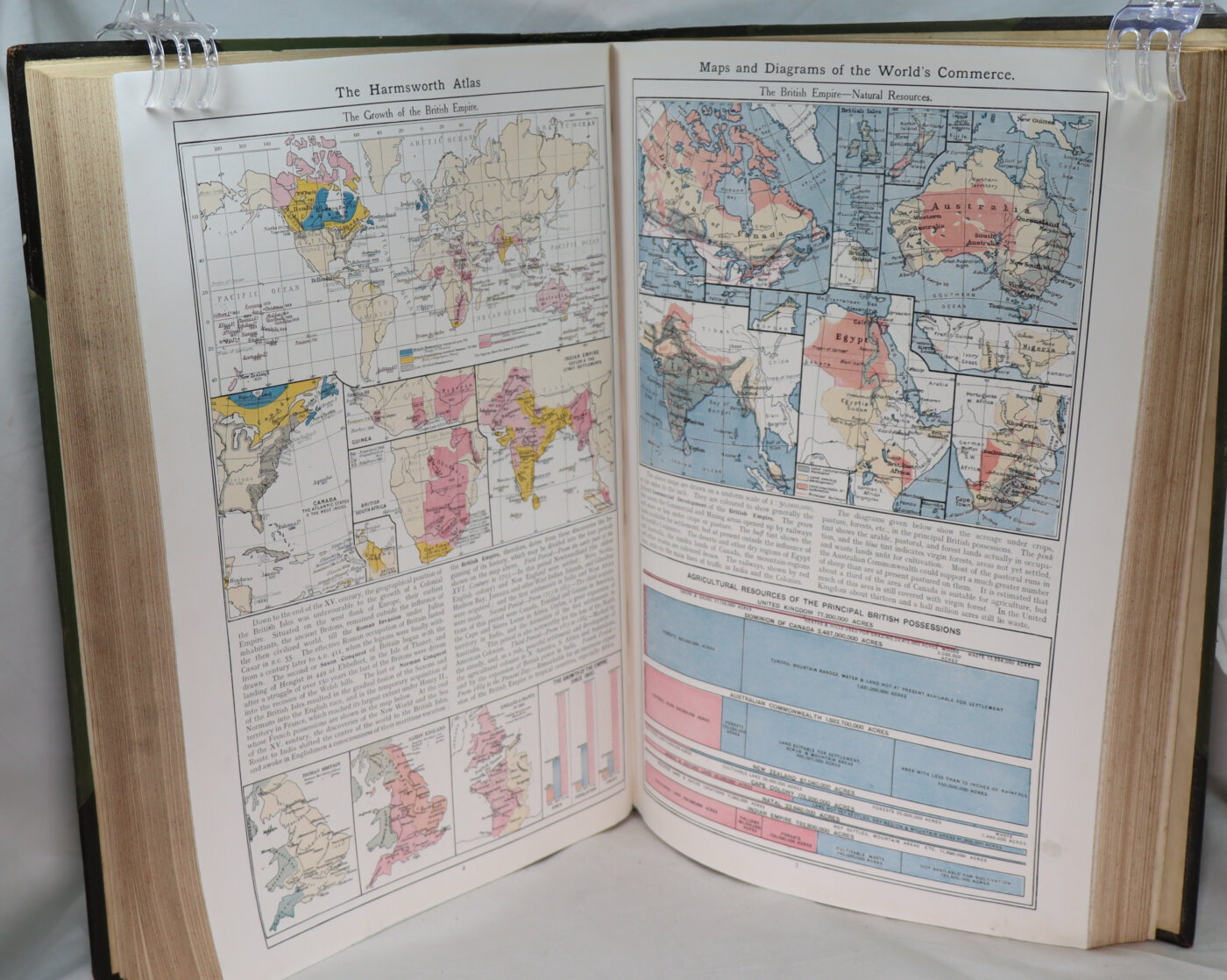
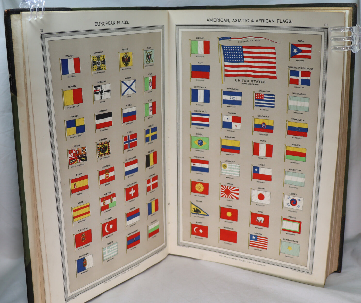
The Atlas of the British Empire
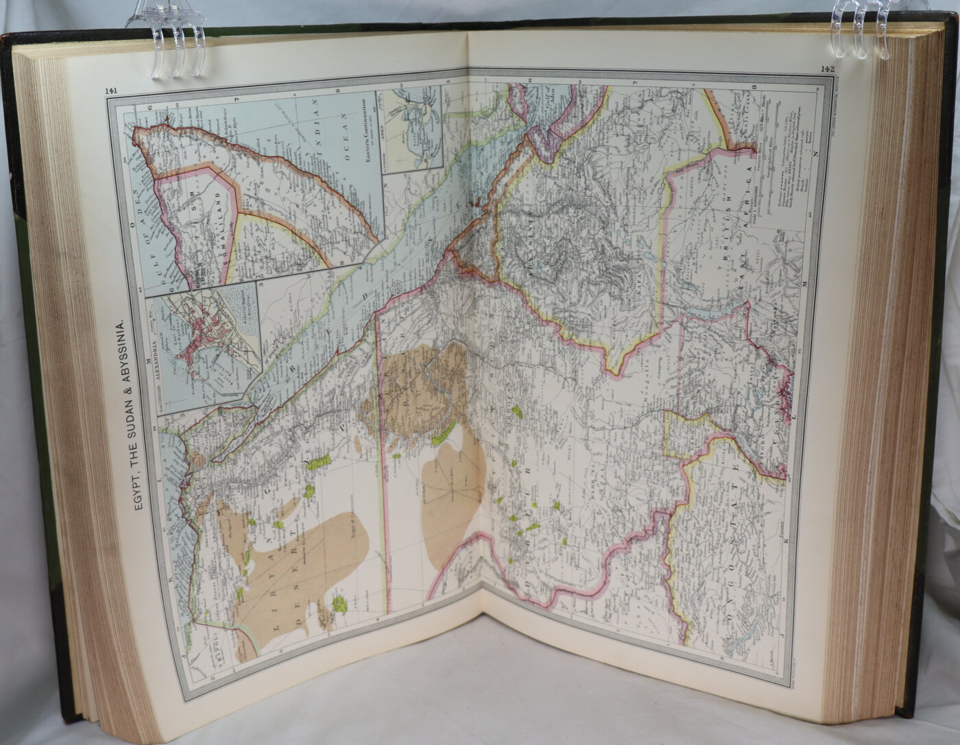
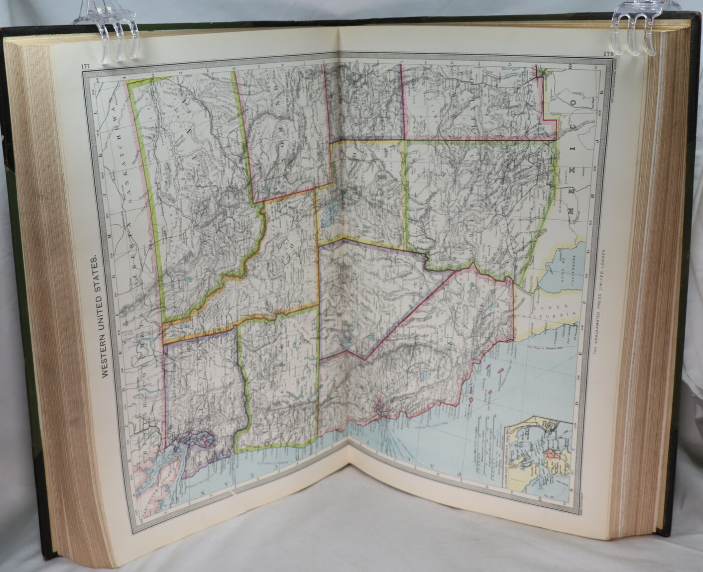
Folio(41x28cm) HB 2pp Flags viii+210pp reference maps & diagrams+32pp maps & Diagrams of world’s commerce+28fpp gazetteer.Bound green cloth boards & brown leather spine & corners-some wear, marks & scuffing of leather but still good. No dust jacket. Brown marbled endpapers- some age related spotting to verso of free endpapers & text free pages at back & front (frontis of Flags of British Empire not affected) rest internally is still v.good.
The British Empire comprised the dominions, colonies, protectorates, mandates, and other territories ruled or administered by the United Kingdom and its predecessor states. It began with the overseas possessions and trading posts established by England in the late 16th and early 17th centuries. At its height in the 19th and early 20th century, it was the largest empire in history and, for a century, was the foremost global power. By 1913, the British Empire held sway over 412 million people, 23 percent of the world population at the time, and by 1920, it covered 35.5 million km2 (13.7 million sq mi), 24 percent of the Earth’s total land area. As a result, its constitutional, legal, linguistic, and cultural legacy is widespread. At the peak of its power, it was described as “the empire on which the sun never sets”, as the sun was always shining on at least one of its territories.
Want to know more about this item?
We are happy to answer any questions you may have about this item. In addition, it is also possible to request more photographs if there is something specific you want illustrated.
Ask a question

Share this Page with a friend