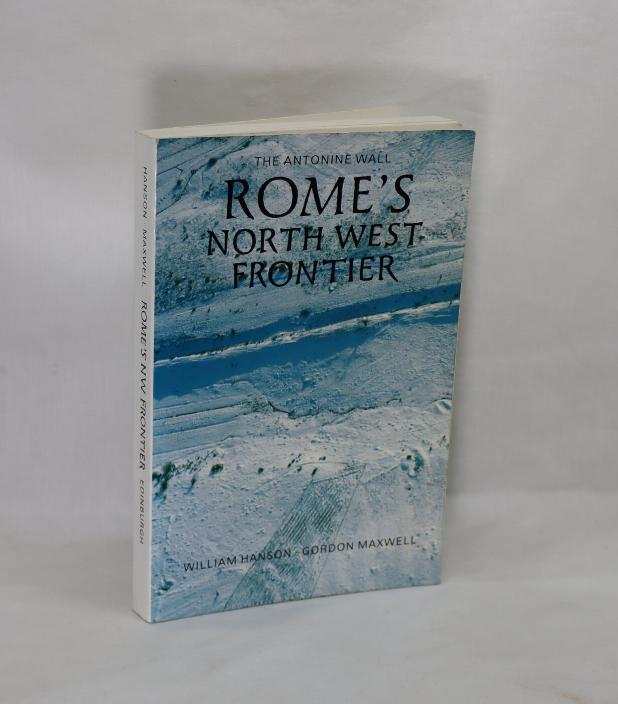
Rome's North West Frontier.
By William S Hanson & Gordon S Maxwell
ISBN: 9781803278025
Printed: 1986
Publisher: Edinburgh University Press.
| Dimensions | 15 × 24 × 2 cm |
|---|---|
| Language |
Language: English
Size (cminches): 15 x 24 x 2
Condition: Very good (See explanation of ratings)
£43.00
Buy Now
Your items

Item information
Description
Paperback. White board binding with black title and areial view of the Antonine Wall.
- We provide an in-depth photographic presentation of this item to stimulate your feeling and touch. More traditional book descriptions are immediately available
- Note: This book carries a £5.00 discount to those that subscribe to the F.B.A. mailing list
Paperback. Condition: Good. First Paper Edition. Pp: xiv + 250. Titles: frt. & sp. Illust. w/ b/w photos, drawings, diagrams, maps & tables (listed). Interior leaves are clean and tight. A detailed and historical study of the northern frontier of the Roman province of Britain delineated by the construction of the Antonine Wall defensive system in lowland Scotland. Everything you wanted to know about the Antonine Wall of A. D. 139 and then some. Very good for the history of early Scotland.
Review: Most people don’t know that Hadrian’s Wall was abandoned shortly after it was built in favor of a new wall located on the Forth-Clyde Line in Scotland. This wall in turn was abandoned mere decades after it was built and Hadrian’s Wall was again the northernmost defenses in Roman Britain. The reason that few people have heard of this is because the second wall isn’t as impressive as the first. Hadrian built his out of stone. Antoninus Pius built his out of turf and wood. All that’s left of it now is a ditch and some holes in the ground, with the occasional stone foundation where a more permanent fort was built. This book examines that wall.
Obviously this book is mostly archaeological in nature (the primary sources could cover a few pages at most), but it isn’t a book solely on the archaeology of the wall. It serves as an introduction to the topic and offers a rather broad chronological look at Roman Scotland. Though it’s nominally about the Wall the first 58 pages cover the period before it was even built. As an introduction it does its job very well. The building of the wall is covered as is the way the wall was used and a bit about daily life on the wall. A pure archaeology book would offer a detailed rundown of each site, but those get boring fast. This is the kind of book you can use as a source or just read for fun. I wouldn’t recommend getting it as a guidebook to visiting the wall though. It does include maps but it only occasionally mentions which areas are worth seeing and easiest to get to.
Although I think this is the superior book I would have to recommend getting David Breeze’s The Antonine Wall as well. The illustrations in that book are much nicer and they are in color. The two books complement each other nicely.
The Antonine Wall was a turf fortification on stone foundations, built by the Romans across what is now the Central Belt of Scotland, between the Firth of Clyde and the Firth of Forth. Built some twenty years after Hadrian’s Wall to the south, and intended to supersede it, while it was garrisoned it was the northernmost frontier barrier of the Roman Empire. It spanned approximately 63 kilometres (39 miles) and was about 3 metres (10 feet) high and 5 metres (16 feet) wide. Lidar scans have been carried out to establish the length of the wall and the Roman distance units used. Security was bolstered by a deep ditch on the northern side. It is thought that there was a wooden palisade on top of the turf. The barrier was the second of two “great walls” created by the Romans in Great Britain in the second century AD. Its ruins are less evident than those of the better-known and longer Hadrian’s Wall to the south, primarily because the turf and wood wall has largely weathered away, unlike its stone-built southern predecessor.
Construction began in AD 142 at the order of Roman Emperor Antoninus Pius. Estimates of how long it took to complete vary widely, with six and twelve years most commonly proposed. Antoninus Pius never visited Britain, unlike his predecessor Hadrian. Pressure from the Caledonians probably led Antoninus to send the empire’s troops further north. The Antonine Wall was protected by 16 forts with small fortlets between them; troop movement was facilitated by a road linking all the sites known as the Military Way. The soldiers who built the wall commemorated the construction and their struggles with the Caledonians with decorative slabs, twenty of which survive. The wall was abandoned only eight years after completion, and the garrisons relocated rearward to Hadrian’s Wall. Most of the wall and its associated fortifications have been destroyed over time, but some remains are visible. Many of these have come under the care of Historic Environment Scotland and the UNESCO World Heritage Committee.
Want to know more about this item?
We are happy to answer any questions you may have about this item. In addition, it is also possible to request more photographs if there is something specific you want illustrated.
Ask a question
Related products


Share this Page with a friend