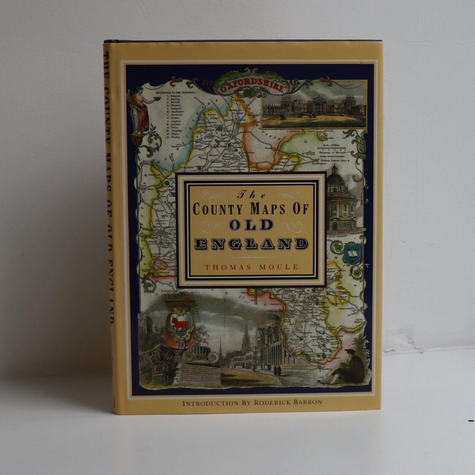
The County Maps of Old England.
By Thomas Moule
ISBN: 9781849944977
Printed: 1995
Publisher: Studio Editions. London
| Dimensions | 26 × 36 × 2 cm |
|---|---|
| Language |
Language: English
Size (cminches): 26 x 36 x 2
Condition: Fine (See explanation of ratings)
£24.00
Buy Now

Item information
Description
In the original dustsheet. Navy cloth binding with gilt title on the spine.
F.B.A. provides an in-depth photographic presentation of this item to stimulate your feeling and touch. More traditional book descriptions are immediately available.
A very nice copy
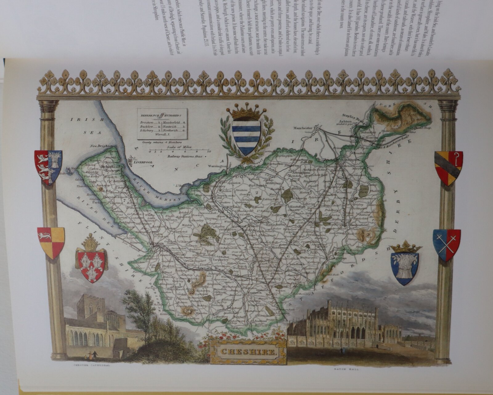
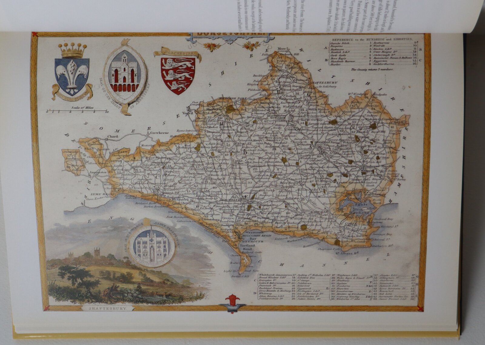
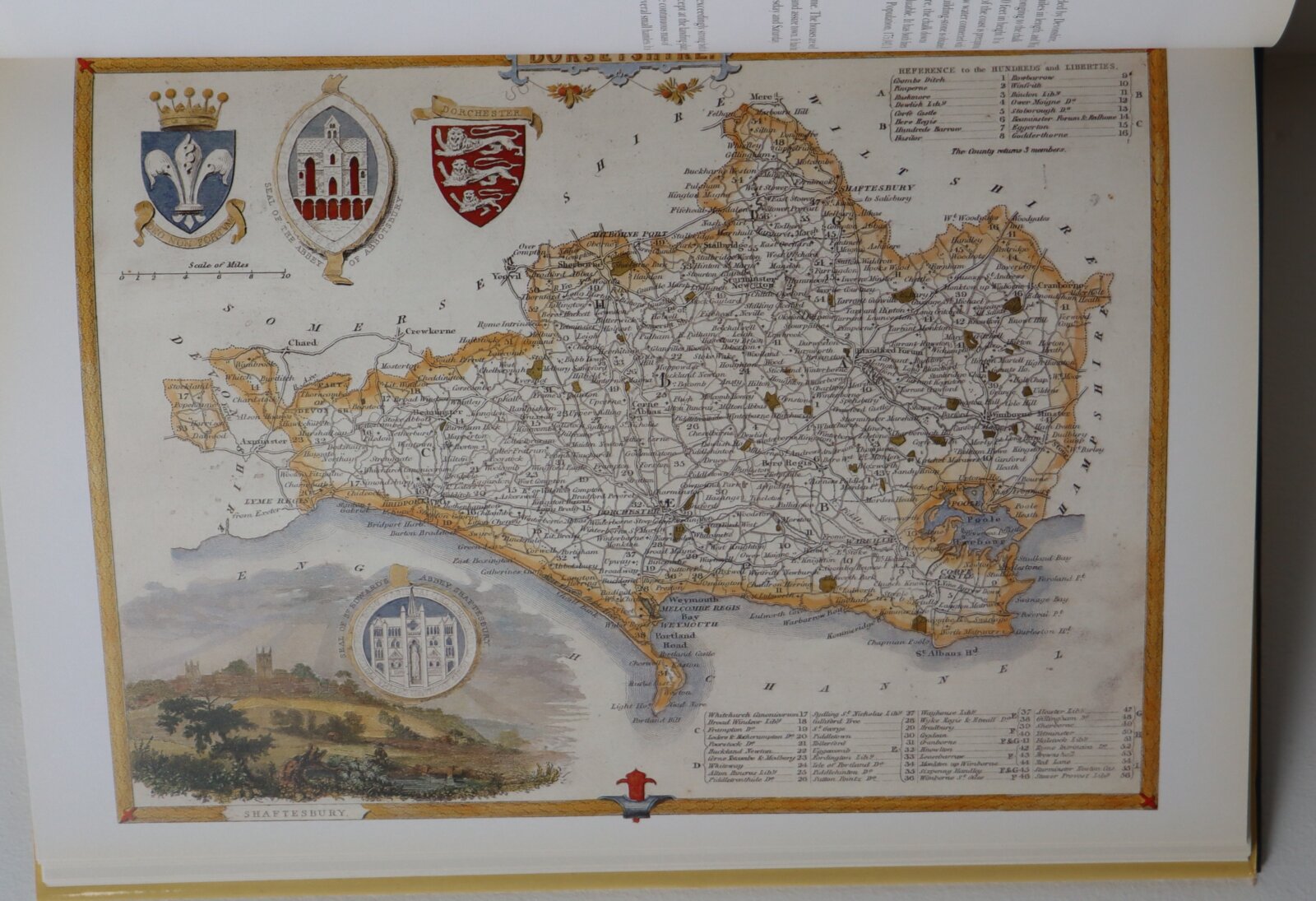
Thomas Moule is one of the most distinctive and beloved of early Victorian mapmakers. His charming series of English county maps, first published in 1830 as the ‘English Counties’ are as popular and collectable today as when they first
appeared. Their elaborate and decorative style, a synthesis of art and cartography, sets them apart from most other maps of the period, whose plain un-embellished style owed much to the pioneering work of the Ordinance Survey. Moule’s maps convey a picture of an England where ‘ancientness’ could still be found in abundance. This was an England where history was still alive in ancient country houses, parish churches with their escutcheoned Gothic memorials and tombs, in market towns and marketplace and in a landscape that still offered ‘scenes, situations, and prospects remarkable for extent and beauty.’ Moule is often compared to his distinguished 17th century predecessors, John Speed and Joan Bleau. This new edition of ‘Moule’s Maps’ combines 56 coloured maps with the original text taken from ‘Barclays Complete and Universal English Dictionary’ in which they appeared in the editions published between 1842 and 1852.
Want to know more about this item?
We are happy to answer any questions you may have about this item. In addition, it is also possible to request more photographs if there is something specific you want illustrated.
Ask a question
Related products


Share this Page with a friend