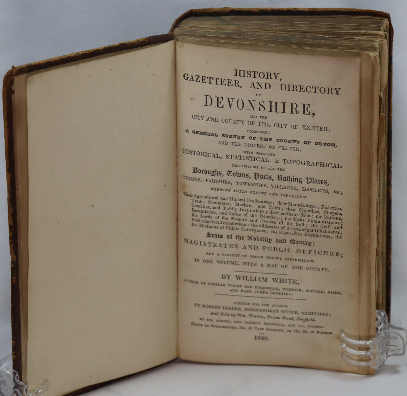
History and Directory of Devonshire.
By William White
Printed: 1850
Publisher: William White. Sheffield
| Dimensions | 12 × 19 × 6 cm |
|---|---|
| Language |
Language: English
Size (cminches): 12 x 19 x 6
Condition: Good (See explanation of ratings)
£198.00
FREE shipping
Buy Now
Your items

Item information
Description
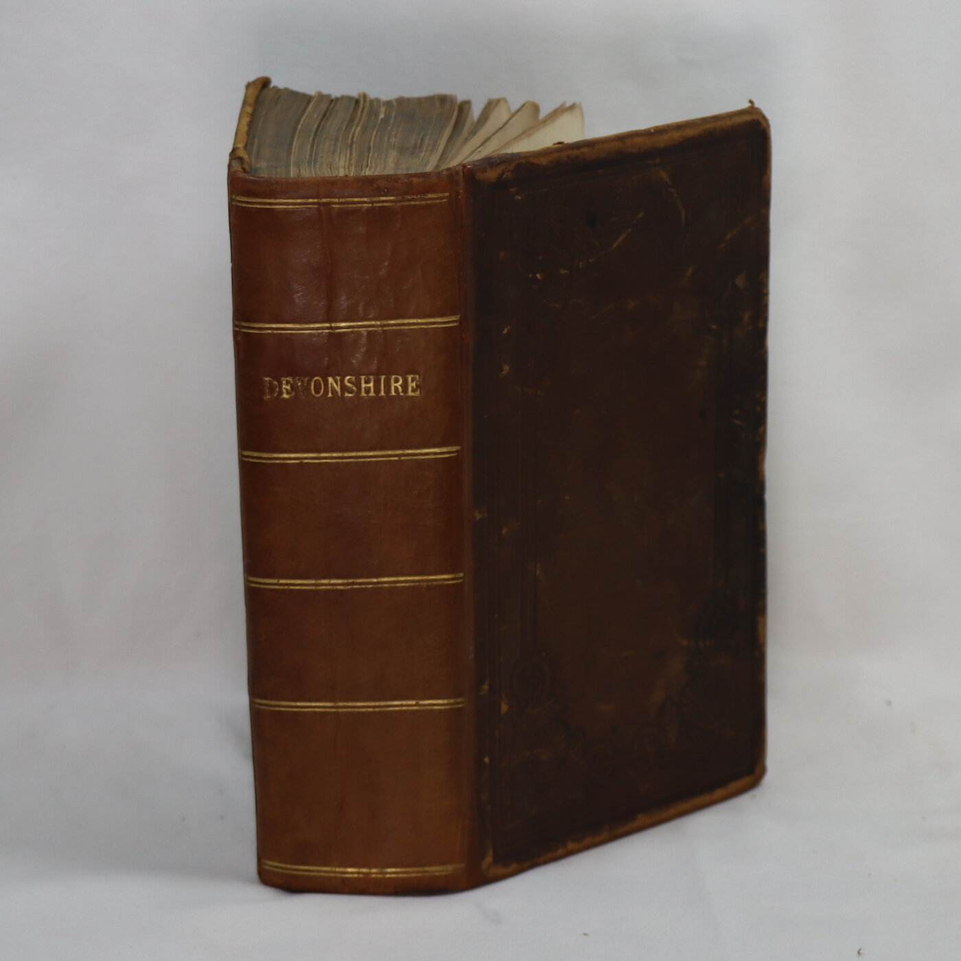
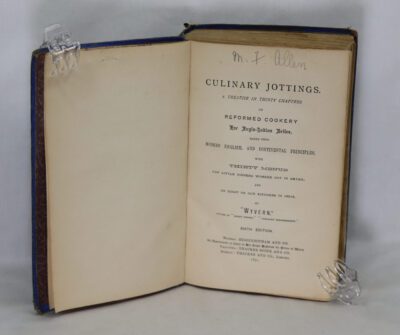
Tan leather binding with gilt title on the rebacked spine.
-
We provide an in-depth photographic presentation of this item to stimulate your feeling and touch. More traditional book descriptions are immediately available.
-
Note: This book carries the £5.00 discount to those that subscribe to the F.B.A. mailing list.
First Edition: 804 pages, with folding map at front. Well bound. Few areas of text crossed through in pencil by the owner otherwise internally clean, map clean and complete, the book is in good condition.
Devon (historically also known as Devonshire is a ceremonial county in South West England. It is bordered by the Bristol Channel to the north, Somerset and Dorset to the east, the English Channel to the south, and Cornwall to the west. The city of Plymouth is the largest settlement, and the city of Exeter is the county town.
The county has an area of 2,590 sq mi (6,700 km2) and a population of 1,194,166. The largest settlements after Plymouth (264,695) are the city of Exeter (130,709) and the seaside resorts of Torquay and Paignton, which have a combined population of 115,410.They all are located along the south coast, which is the most populous part of the county; Barnstaple (31,275) and Tiverton (22,291) are the largest towns in the north and centre respectively. For local government purposes Devon comprises a non-metropolitan county, with eight districts, and two unitary authority areas: Plymouth and Torbay.
Devon has a varied geography. It contains Dartmoor and part of Exmoor, two upland moors which are the source of most of the county’s rivers, including the Taw, Dart, and Exe. The longest river in the county is the Tamar, which forms most of the border with Cornwall and rises in the Devon’s northwest hills. The southeast coast is part of the Jurassic Coast World Heritage Site, and characterised by tall cliffs which reveal the Triassic, Jurassic and Cretaceous geology of the region. The county gives its name to the Devonian geologic period, which includes the slates and sandstones of the north coast. Dartmoor and Exmoor have been designated national parks, and the county also contains, in whole or in part, five national landscapes.
In the Iron Age, Roman and the Sub-Roman periods, the county was the home of the Dumnonii Celtic Britons. The Anglo-Saxon settlement of Britain resulted in the partial assimilation of Dumnonia into the kingdom of Wessex in the eighth and ninth centuries, and the western boundary with Cornwall was set at the Tamar by king Æthelstan in 936.
William White (3 January 1799 – 3 September 1868) of Sheffield was a British publisher of White’s Directories. He began his career in publishing at the age of 18 when he joined Edward Baines of Leeds in the preparation of county histories and directories. Within four years he had succeeded Mr Baines and proceeded to publish directories of numerous counties of England until 1864 when he was succeeded by his son, also William White (1832–1870).
Condition notes
Some pages loose
Want to know more about this item?
We are happy to answer any questions you may have about this item. In addition, it is also possible to request more photographs if there is something specific you want illustrated.
Ask a question


Share this Page with a friend