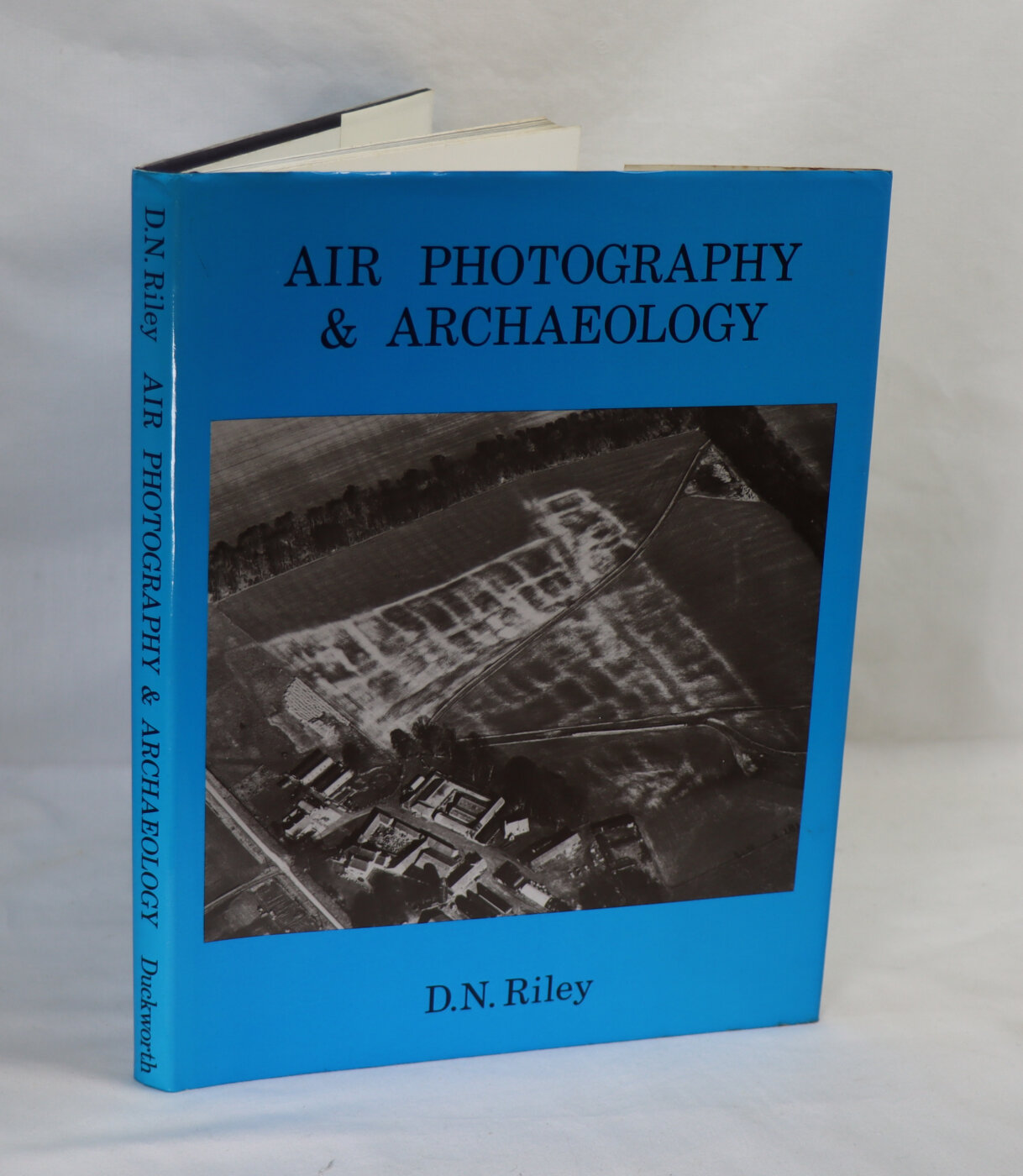
Air Photography & Archaeology.
By D N Riley
ISBN: 9780715623015
Printed: 1987
Publisher: Gerald Duckworth. London
Edition: First edition
| Dimensions | 22 × 28 × 2 cm |
|---|---|
| Language |
Language: English
Size (cminches): 22 x 28 x 2
Condition: Very good (See explanation of ratings)
£48.00
Buy Now


Item information
Description
In the original dust jacket. Black cloth binding with gilt title on the spine.
-
We provide an in-depth photographic presentation of this item to stimulate your feeling and touch. More traditional book descriptions are immediately available
-
Note: This book carries a £5.00 discount to those that subscribe to the F.B.A. mailing list
First Edition: Condition: Very good. A copy that has been read but remains in clean condition. This book does NOT contain examples of Lidar nor does it herald later techniques, but this book is an excellent portrayal of the benefits that air photography can bring to archaeology.
Aerial archaeology is the study of archaeological sites from the air. It is a method of archaeological investigation that uses aerial photography, remote sensing, and other techniques to identify, record, and interpret archaeological features and sites. Aerial archaeology has been used to discover and map a wide range of archaeological sites, from prehistoric settlements and ancient roads to medieval castles and World War II battlefields.
Aerial archaeology involves interpretation and image analysis of photographic and other kinds of images in field research to understand archaeological features, sites, and landscapes. It enables exploration and examination of context and large land areas, on a scale unparalleled by other archaeological methods. The AARG (Aerial Archaeology Research Group) boasts that “more archaeological features have been found worldwide through aerial photography than by any other means of survey”.
Aerial archaeological survey combines data collection and data analysis. The umbrella term “aerial images'” includes traditional aerial photographs, satellite images, multispectral data (which captures image data within specific wavelength ranges across the electromagnetic spectrum) and hyperspectral data (similar to multi-spectral data, but more detailed).
A vast bank of aerial images exists, with parts freely available online or at specialist libraries. These are often vertical images taken for area surveys by aircraft or satellite (not necessarily for archaeological reasons).
Each year a small number of aerial images are taken by archaeologists during prospective surveys Lidar (also LIDAR, LiDAR or LADAR, an acronym of “light detection and ranging” or “laser imaging, detection, and ranging”) is a method for determining ranges by targeting an object or a surface with a laser and measuring the time for the reflected light to return to the receiver. Lidar may operate in a fixed direction (e.g., vertical) or it may scan multiple directions, in which case it is known as lidar scanning or 3D laser scanning, a special combination of 3-D scanning and laser scanning. Lidar has terrestrial, airborne, and mobile applications.
Lidar is commonly used to make high-resolution maps, with applications in surveying, geodesy, geomatics, archaeology, geography, geology, geomorphology, seismology, forestry, atmospheric physics, laser guidance, airborne laser swath mapping (ALSM), and laser altimetry. It is used to make digital 3-D representations of areas on the Earth’s surface and ocean bottom of the intertidal and near coastal zone by varying the wavelength of light. It has also been increasingly used in control and navigation for autonomous cars and for the helicopter Ingenuity on its record-setting flights over the terrain of Mars.
The evolution of quantum technology has given rise to the emergence of Quantum Lidar, demonstrating higher efficiency and sensitivity when compared to conventional lidar systems.
Derrick N. Riley became interested in archaeology and also in flying, during his schooldays. His experience of aerial archaeology dated back to the Second World War, when he was a pilot in the Royal Air Force. During periods of duty as a flying instructor he observed numerous archaeological sites, some of which he was able to photograph and publish. Later he became very active as an air photographer of ancient sites in Yorkshire, Nottinghamshire, Derbyshire and Humberside and published many of the results in the journals of local archaeological societies and in Early Landscape from the Air, a book issued in 1980. An honorary lecturer in the Departments of Prehistory and Archaeology and of Ancient History and Classical Archaeology at Sheffield University, he was given the degree of Doctor of Philosophy, honoris causa. Derrick Riley died in 1993.
Want to know more about this item?
We are happy to answer any questions you may have about this item. In addition, it is also possible to request more photographs if there is something specific you want illustrated.
Ask a question
Related products


Share this Page with a friend